
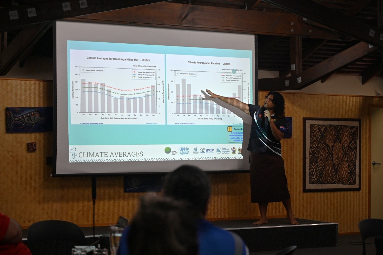
COMMUNITIES across the Cook Islands are urged to prepare now for the months ahead, despite recent rain, following the release of the 2026/27 seasonal climate and ocean outlook at the National Climate and Ocean Forum (NCOF) in Rarotonga.
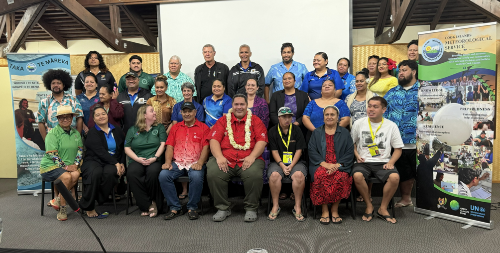
The forum, hosted by the Cook Islands Meteorological Service (CIMS) at the Edgewater Resort on Monday 9 November, brought together stakeholders from a range of sectors to hear the latest information on climate and ocean conditions and what they may mean for the season ahead.
More than forty participants attended the forum, online and in person. The forum was supported by the Secretariat of the Pacific Regional Environment Programme (SPREP) through its Climate Science and Information Programme.
Participants heard presentations on climate impacts and extreme weather events over the past year; the current status of the El Niño–Southern Oscillation (ENSO) and the South Pacific Convergence Zone (SPCZ); the 2026/27 Tropical Cyclone Outlook; and the outlook for rainfall, temperature, and drought.
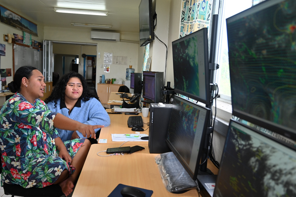
The CIMS ocean team presented the latest sea surface temperature forecasts, coral reef watch status and sea level trends, and participants were also updated on improvements to the national weather observation network under the Green Climate Fund CIS-Pac5 project.
Climatologist Sunny Seuseu of the SPREP Climate Services Team presented the regional El Niño status and cautioned against reading too much into the recent wet weather.
“We are in a strong El Niño phase, and that is the signal people need to pay attention to. The showers we have seen over the last few days are largely orographic rainfall, which happens when moist air is pushed up over high ground, cools and falls as rain. On an island like Rarotonga, that kind of rainfall is still likely during El Niño, but it is localised and short-lived. It does not mean the rain will continue,” said Seuseu.
“My message is simple: do not let a few wet days give a false sense of security. This is the time to take precautions, to conserve and store water, and to plan for the conditions the outlook is pointing to, not the weather we happen to be seeing this week.”
Director of the Cook Islands Meteorological Service, Maara Vaiimene, said the 2026/27 Tropical Cyclone Outlook points to an active season, particularly for the Northern Cook Islands.
“We are expecting one to three named tropical cyclones for the Cook Islands this season. The Northern Cook Islands face an elevated risk, with two to three cyclones predicted, while the risk for the Southern Cook Islands is normal to above normal, with one to two predicted. We have already had one, with Tropical Cyclone Wati affecting us in October,” said Vaiimene.
“The official tropical cyclone season runs from 1 November to 30 April, but cyclones do not always keep to the calendar. We saw that with Tropical Cyclone Martin at the end of October 1997, and again last month with Tropical Cyclone Wati. Cyclone activity for the Cook Islands usually peaks from December to March, and
El Niño is still strengthening, with a strong event likely through January to March 2027. All communities need to remain vigilant and well prepared.”
Director of the Cook Islands Meteorological Service, Maara Vaiimene, said the 2026/27 Tropical Cyclone Outlook points to an active season, particularly for the Northern Cook Islands.
“We are expecting one to three named tropical cyclones for the Cook Islands this season. The Northern Cook Islands face an elevated risk, with two to three cyclones predicted, while the risk for the Southern Cook Islands is normal to above normal, with one to two predicted. We have already had one, with Tropical Cyclone Wati affecting us in October,” said Vaiimene.
“The official tropical cyclone season runs from 1 November to 30 April, but cyclones do not always keep to the calendar. We saw that with Tropical Cyclone Martin at the end of October 1997, and again last month with Tropical Cyclone Wati. Cyclone activity for the Cook Islands usually peaks from December to March, and
El Niño is still strengthening, with a strong event likely through January to March 2027.
All communities need to remain vigilant and well prepared.”
Vaiimene also encouraged participants and communities, particularly in the Pa Enua, to engage actively with the outlook, because although the conditions may not be so severe in some cases, their impacts can be devastating.
“The outlook is intended for our people to understand it and act on it. I encourage everyone, especially our people in the Pa Enua, to ask questions. If something in the outlook is not clear, or you want to know what it means for your island, contact us. There is no such thing as a silly question when it comes to keeping your family and community safe. Our aim is to keep our communities safe and informed,” said Vaiimene.
“Our outer islands often feel the impacts first and have the least time and resources to respond. By taking heed of the outlook now, Island Governments and communities can be prepared, know what actions to take, and put plans in place before conditions change, rather than after.”
Participants were invited to complete a feedback survey to help CIMS improve how it produces and shares climate and ocean information with each sector and island. CIMS will continue to provide regular climate and ocean updates throughout the season through the CIMS Facebook page and local media outlets.