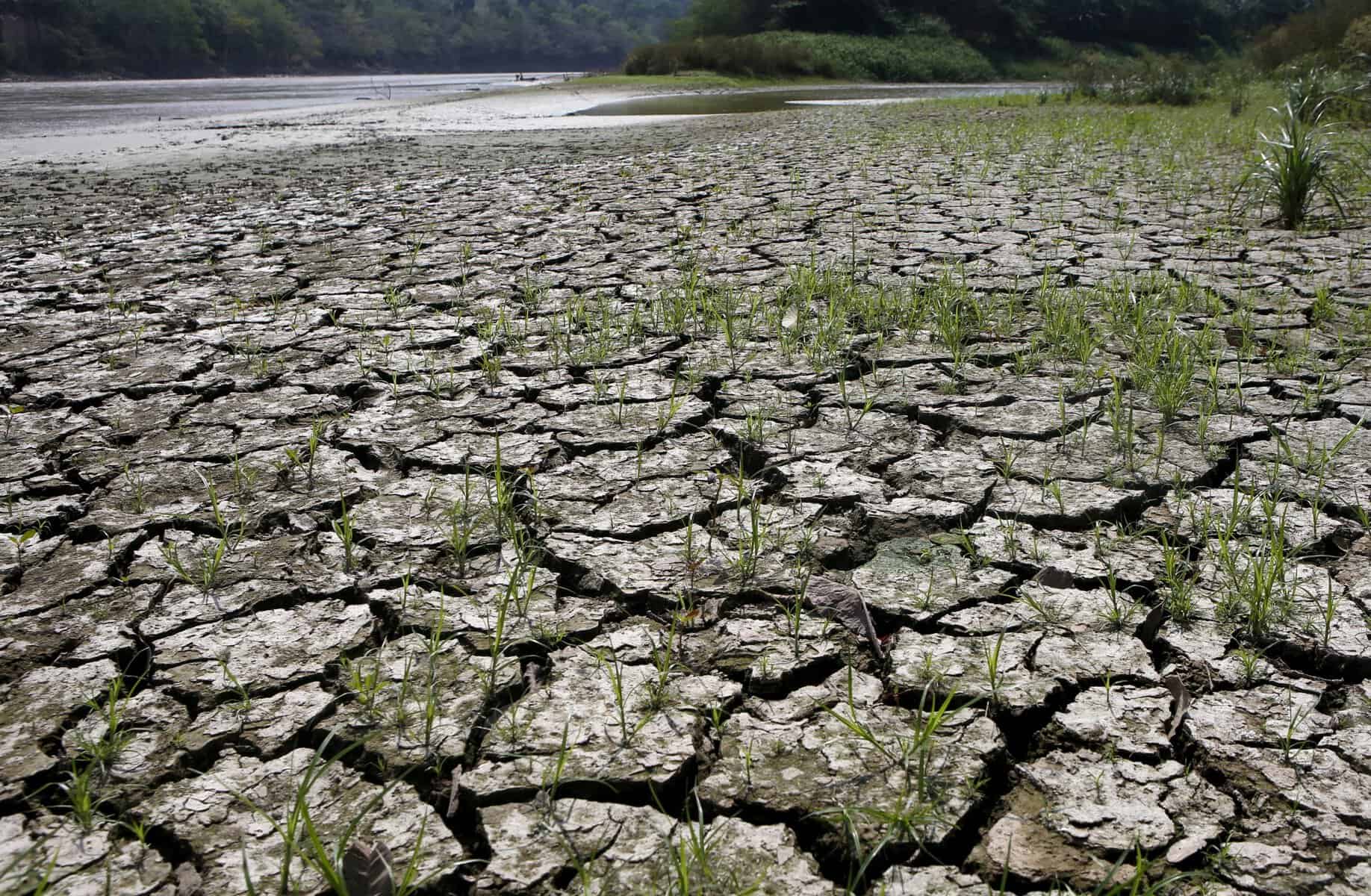
THE Western Pacific can expect a drier few months with the possibility of drought as El Niño sets in.
The South Pacific Regional Environment Programme (SPREP) has advised that El Niño conditions have been established in the region. Under these conditions, sea surface temperatures in the central and eastern Pacific Ocean become warmer than usual, leading to changing rainfall and wind patterns.
El Niño is a natural climate pattern that occurs when sea surface temperatures in the central and eastern Pacific Ocean become warmer than usual. This changes rainfall and wind patterns across the region.
“National authorities and communities in this sub-region are advised to begin proactive water management planning,” said Salesa Nihmei, SPREP’s Director of Climate Science and Information.
“Over the coming months, Western Pacific countries are likely to experience drier-than-usual conditions, increasing the risk of drought.”
El Niño events usually occur every two to seven years and can last from several months to more than a year.
“We look forward to working with our Met Services ans partners for coordinated regional response across our Pacific as we enter this period,” Nihmei said.
But Central and Eastern Pacific Island Countries, including the Northern Cook Islands, can expect above-normal rainfall during this period.
Typically, El Niño alters the regions in which tropical cyclones form, with genesis zone shifting eastward across both hemispheres. Genesis zones are the areas of ocean where tropical cyclones most commonly develop.
During El Niño, warmer waters shift further east, making it more likely for cyclones to form in these new areas instead of the usual locations.
In the Northern Pacific, the genesis zones are expected to move closer to the Marshall Islands, shifting from its typical position near the Philippines and Guam.
In the South Pacific, the genesis zones are expected to shift closer to Samoa, Niue and Cook Islands, moving away from its usual position near Vanuatu, New Caledonia, and the Coral Sea.
While El Niño conditions are generally associated with drier-than-normal weather and increased drought risk in the Western Pacific, short-term heavy rainfall events can still occur within this boarder pattern. Even where such events take place, monthly and seasonal rainfall totals may remain below average overall.
Source: PACNEWS