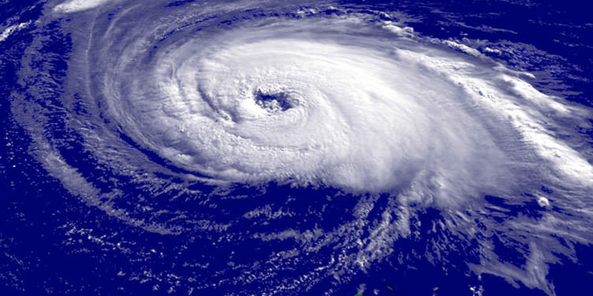
The Southwest Pacific may see either fewer or a normal number of tropical cyclones this season, according to New Zealand’s National Institute of Water and Atmospheric Research (NIWA) and Metservice.
The cyclone season starts in November and runs until the 30 April.
NIWA Meteorologist Ben Noll expects between six to 10 tropical cyclones in this season, with nine being average.
“So, it is potentially fewer than the long-term normal but it’s important to point out that it doesn’t necessarily take a severe tropical cyclone for the impacts to be severe,” Noll said.
NIWA’s cyclone outlook report said the risk of a cyclone is expected to be higher in the west with a developing La Niña causing warmer ocean water to pile up in the western Pacific Ocean.
Papua New Guinea, Solomon Islands, Vanuatu, New Caledonia, the Coral Sea region and out toward Queensland, Australia, need to be on higher cyclone alert this season, Noll said.
He said these island groups could see multiple tropical cyclones this season.
However, eastern Fiji may have normal to reduced likelihood of tropical cyclones, he added.
“It’s worth pointing out that those island groups do tend to experience a couple of tropical cyclones per season. So, even in a season where there are normal or reduced amounts of activity forecast, they can still have an impact from a system.”
The cyclone outlook report said past seasons with similar conditions, referred to as “analogue years”, suggest that multiple tropical cyclones could intensify to at least category 3 strength.
“Category 5 strength TCs (topical cyclones) in which sustained winds are 200 km/h or greater, are associated with a majority of the analogue years,” it said.
“Between three and four severe TCs reaching category 3 or higher may occur anywhere across the region, so all communities should remain prepared.”
In October last year, Cyclone Lola become the strongest off-season tropical cyclone in the Southern Hemisphere, reaching category five strength – the highest cyclone category there is – with sustained winds of up to 215km/h.
Noll said it was likely tied to last year’s El Niño event.
“There had been a couple of early season tropical cyclones during past strong El Niño events especially in 1997, so it was quite unusual but not unprecedented necessarily.
“This year with La Niña, potentially, the season may take a little bit longer to get started, especially in the eastern part of the basin, where things typically will pick up during the late season.
“So, the start might not be quite as thunderous as it was last year.”
The Northern Hemisphere hurricane season in the Atlantic Ocean has seen multiple high-impact systems, including Helene in September and now Milton.
Noll said the South Pacific has a “bit of a different set up” to the Atlantic and had seen a long-term trend of slightly fewer tropical cyclones.
“In fact, the normal number [of cyclones in the South Pacific] decreased from 10 to nine in the last 30 years. That is actually something that’s consistent with the climate change literature there may be slightly fewer overall but the ones that do form could be more intense.”
The El Niño weather pattern last cyclone season was supposed to result in a high number of cyclones in the South Pacific, however, there were only seven – two fewer than the long-term average.
Noll said the trend of fewer cyclones could have been part of of the reasoning behind the bizarre El Niño event.
Vanuatu and New Caledonia typically experience the highest number of cyclones, averaging two to three passing nearby each year. This season, both nations are expected to have near normal cyclone activity.
