
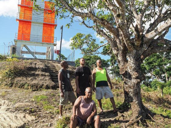
15 minutes’ drive from the heart of Fiji’s capital city, Suva, lies the community of Valenicina. Under the watchful eye of one of its residents, Mosese Sereivalu, this community recently worked together to upgrade their road system, organise health clinics, run sports events for youth in the community and reinforce messages on safety and resilience.
Mosese, affectionately known as Moji in his community, used his knowledge and background in data collection and his role as a volunteer at the local Disaster Risk Reduction Club to support these changes alongside his community.
Using these skills, Moji can now tell you that there are 623 people living in Valenicina, with a total of 124 households. “It is important to know the number of people per household as it contributes to our knowledge on areas that are possibly at risk before disasters, or the number of people exposed to disasters. This in turn builds our community exposure database,” he says.
This information and preparation improves the community. “Information is power- with that household data, I know what is happening in my community. That is very important to me to see what’s happening on the ground. With this quality data I know my information is accurate,” Moji says.
The club itself is mostly made up of children between the ages of six and 19. The children are taught the basics of preparing for disasters, and how to care for their environment. Under Moji’s guidance they collect household surveys to determine building types, amenities and utilities, as well as population information, which is important before, during and after disasters.
The importance of community disaster champions
Valenicina is an informal community settlement, which means it has evolved over recent decades due to urban drift; mostly people coming from outer-island and rural communtiies. UNHabitat states around 20% of Fiji’s urban population live in these communiies where people have built homes after moving to seek educational and employment opportunities in Fiji’s larger urban areas.
These communities have not been developed as part of regular town planning, therefore access to timely information can be limited.
Combined with the fact that Fiji is ranked the 15th nation most vulnerable to disaster risk (2020 World Risk Index) means preparing communities for diaster and the increasing impacts of climate change is a reality that youth today will face well into the future.
To support this, Moji recently attended the PacRIS and Fiji OSM Mapathon to learn some new skills such as how to use OpenStreetMap to provide more accurate and accessible information to his community.
Using this expertise, Moji was able to map his own community using global satellites, and update these maps to ensure they accurately reflect Valenicina and its environment.
This information will be used during disaster response to understand which households may need support, such as evacuation of elderly people or people with disabilities, during and after disasters.
Moji said: “This workshop has taken me to another level. I can see our community benefiting from the use of this Open Street mapping system; this system can store my data and I share my information to the world.”
What is a Mapathon?
The Pacific’s vulnerability to disasters such as flooding, earthquakes, cyclones, tsunamis and drought means that access to timely, updated and relevant information is critical for government planning, disaster response humanitarian actions and the improvement of communities through disaster preparedness.
The PacRI and Fiji OSM Mapathon that Moji attended in March was part of a mapping exercise using readily available data and the skills of the 26 attendees to validate and generate more robust datasets that can be used for future disaster planning.
Access in the region to these data sets is through an open system called the Pacific Risk Information System (PacRis). This system has more that 700 datases from across 15 Pacific Island Countries, including Timor Leste. Many are accessible to the public.
There is a need to constantly update this data to provide more accurate and timely information. This includes ensuring informal communitiies such as Valenicina are accurately mapped and reflected in the system to support better planning and recovery before, during and after disaster.
PCRAFI Project Manager, Eileen Turare said the mapathon brought together more than 25 Suva students to work with their own data and community information. She said it was a huge success and she’s looking forward to how this can support access to more accurate information into the future.
“The plan from here on in is to hold one or two more mapathon events, including a virtual one to continue to advocate for open data and PacRIS. We’ll explore to conduct the next mapathon event online to enable regional participation and enhance visibility and working knowledge of PacRIS and the data at a regional level.”
Updating the data in PacRis and using the data is part of SPC’s Pacific Catastrophe Risk Assessment and Financing Initiative (PCRAFI) which helps Pacific countries develop risk modelling and assessment tools using accurate and timely information. It also supports countries to engage with integrated financial solutions such as insurance mechanisms when disaster strikes to reduce the financial vulnerability of national governments to climate and disaster events.
“It is challenging and interesting. Engaging with children is a blessing for me. I must teach them their rights, responsibilities and the role they play in the community. My main aim is to give back to this community, develop and structure them well so we can get support from the Government and other NGOs,” Moji says.
Ruben Vulawalu is a PIEMA and PCRAFI communications assistant with Geoscience, Energy and Maritime Division (GEM), Pacific Community (SPC).


